
|
ogr2ogr -f KML at_centerline.kml at_centerline.shp
| |
| -f KML | KML is to be the output format |
| at_centerline.kml | This is the output file |
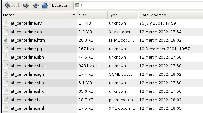
| at_centerline.shp | This is the input file |
Shape File to KML
For this project, I want to convert all data to the KML file format. I have been using
the translator program ogr2ogr.
Typical Sequence
|
ogr2ogr -f KML at_centerline.kml at_centerline.shp
| |
| -f KML | KML is to be the output format |
| at_centerline.kml | This is the output file |
| at_centerline.shp | This is the input file |